The Aedes mosquito distribution map app
The Aedes mosquito distribution map app
2023 – present
About the project
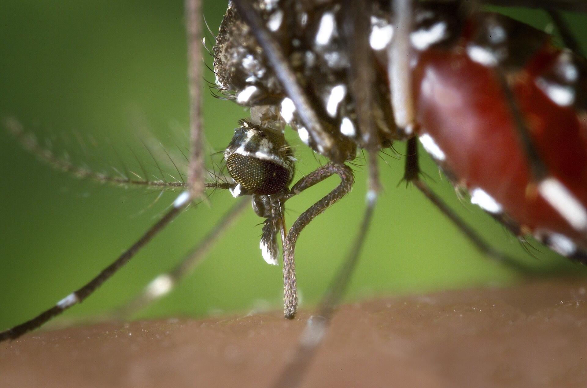
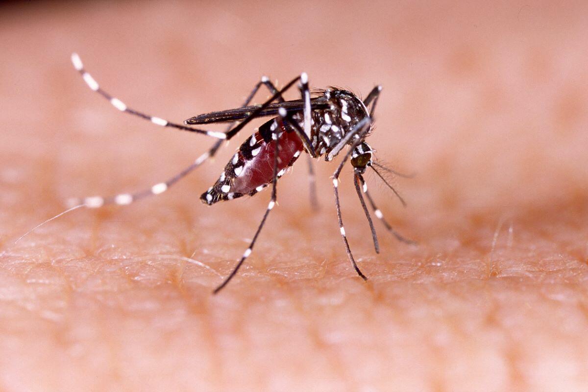
‘Aedes distribution maps’ is a prototype web-based application written in R Shiny to explore Africa-specific habitat suitability maps for Aedes albopictus and Aedes aegypti mosquitos, alongside known species occurrence records.
Aedes distribution maps allows the visualisation of habitat suitability maps for A. aegypti and Ae. albopictus in Africa. These maps include mean habitat suitability layers derived from existing published maps and associated standard deviation. Visualisation is dependent on the user’s criteria, with users selecting the species of interest, country, and first-level administrative region to visualise. Users can download the data at the country or administrative region level in GeoTiff format. Additionally, users can visualise a point-map of known Aedes albopictus occurrence records within Africa and download this data in a comma-separated value (.csv) file for data analysis/visualisation. Known species occurrence records were obtained from published literature and are described fully in this article from Longbottom et al. 2023.
The Aedes app
This prototype app aims to demonstrate how a web-interface can be used to facilitate the viewing and user-submission of new species occurrence records for Ae. albopictus. After vetting and approval, new Ae. albopictus data uploaded by users will be visible to others in the web-interface. Providing a contemporary and comprehensive database of known Ae.albopictus detection locations will allow for real-time monitoring and response to this invasive species.
Read more about the project in this Lancet Global Health article: Aedes albopictus invasion across Africa: the time is now for cross-country collaboration and control.
For more information or to request addition species occurrence data contact Dr Jennifer Lord.